I was born and raised on Long Island, and anyone who lived near the South Shore in 2012 remembers Sandy. Drive the canal blocks south of Merrick Road in Nassau County today and you can still see what it changed: some houses sit up high on new foundations, and some sit right where they always did. When I help someone buy on the water, the elevation certificate is one of the first papers I ask for. My waterfront buyer's guide covers the basics. This one goes deeper on the certificate.
- An elevation certificate is a FEMA form showing how high a house sits compared with the base flood elevation (BFE), the level FEMA expects water to reach in a flood with a 1% chance of happening in any year.
- A licensed land surveyor, engineer or architect certifies it. A finished one doesn't expire and stays good when the house is sold.
- Under today's NFIP pricing it's optional, but it can lower a premium.
- Ask the seller first, then the town or village.
- If the ground next to the house is at or above the BFE, FEMA may take it out of the high-risk zone with a LOMA.
What it is
It's a FEMA form, currently FEMA Form FF-206-FY-22-152, the 2023 edition. Towns use it to show that homes built or substantially improved in a flood zone went up high enough, and owners use it for flood insurance. A licensed land surveyor, professional engineer or architect who is authorized to certify elevations has to sign off on the measurements. No certificate? You'll pay one of them to prepare it, so call early.
The June 30, 2026 date printed on the form is the federal paperwork approval for the blank form, which FEMA has asked to renew without changes. It isn't an expiration date for your certificate. FEMA says a completed one doesn't expire, and a sale doesn't cancel it. A change to the house itself, like raising it or adding on, can make it out of date.
Zones follow the water, not the roads
Zones starting with A or V are FEMA's high-risk zones, and shaded X is the 500-year floodplain. They follow the water and the lay of the land, not Merrick Road or Sunrise Highway, so I never guess a zone from a street name. I look up every address on the FEMA Flood Map Service Center, since maps get redrawn.
How I read one
- Building diagram number. The form has numbered drawings of building types: on a slab, over a basement, raised over a crawlspace or enclosure, up on pilings. I make sure the one picked matches the house.
- Flood zone and BFE. Copied from the flood map, with the map panel and its date.
- Top of the bottom floor. In Section C, the surveyor's measurements. It counts a basement, crawlspace or enclosure floor. Below the BFE deserves a closer look and an early insurance quote.
- Next higher floor. On a raised house, usually the main living floor.
- Lowest adjacent grade. The lowest ground, walk or patio slab touching the house. It feeds into the first floor height and decides whether a LOMA is possible.
- Machinery and equipment. The lowest point of the furnace or boiler, water heater, air conditioning and similar equipment.
- Flood openings. The form lists any crawlspace or enclosure, its permanent flood openings and their open area. In A zones, FEMA wants at least two openings on at least two walls, 1 square inch of opening per square foot of enclosed space, with the bottom no more than a foot above the ground. They have to let water in and out on their own. I go outside and count them.
V zones work differently. The certificate measures the bottom of the lowest beams under the floor, and walls below the lowest floor should be breakaway walls, built to give way without damaging the house above.
On a raised house, I also look downstairs. FEMA treats an enclosure as something other than the lowest floor only if it's unfinished or flood resistant and used just for parking, access or storage. Turn it into a den, and that level can count as the lowest floor.
Where to find one in Nassau County and Lindenhurst
Start with the seller. FEMA's own advice to buyers is to ask for a copy. Next, try the town or village. When a home in a flood zone is built or substantially improved, the community has to keep a record of how high it went, and FEMA encourages using this form for it. Here's who handles flood permits in my canal towns:
| Town | Who to ask |
|---|---|
| Seaford and Wantagh | Town of Hempstead Building Department, which has Certified Floodplain Managers on staff. Town number: (516) 489-5000. |
| Massapequa | Town of Oyster Bay Department of Planning and Development |
| Massapequa Park | Village of Massapequa Park Building Inspector |
| Lindenhurst | Village of Lindenhurst Building Inspector |
Ask whether there's a certificate in the property file, and about permits for any raising or rebuilding.
What it does for flood insurance now
Under Risk Rating 2.0, the NFIP's current pricing, you don't need a certificate to buy a policy. FEMA works out the first floor height from its own data, and you can choose to give your insurance agent a certificate to see if it lowers the cost. It doesn't set the rate, but it can turn up discounts, including ones for covered machinery and equipment raised to at least the floor above the first floor, and for proper flood openings.
I tell buyers a certificate is worth paying for when the house is in an A or V zone and was raised or sits well off the ground (get the quote both ways), when the ground around it may be at or above the BFE, or when you plan to raise the house or renovate in a big way.
Raised after Sandy: freeboard and the 50% rule
After Sandy, the state's NY Rising program, run by the Governor's Office of Storm Recovery, helped homeowners raise their houses. By the state's count, its storm recovery homeowner program supported 3,500 home elevations across New York. If the house you like was raised, ask for the permit, the certificate of occupancy and the final elevation certificate.
Freeboard is extra height above the BFE. FEMA doesn't require it, but New York's standard in A zones has been the BFE plus 2 feet since 2007. The 2025 state building code, in effect since December 31, 2025, adds 18 inches for sea level rise in flood areas next to tidal water and brings shaded X zones under the flood rules.
Then there's the 50% rule. If a renovation, addition or repair costs 50% or more of the house's market value, FEMA calls it a substantial improvement, and the house has to meet current flood rules. For a house that sits low, that usually means raising it. Big plans for a house that was never raised? Talk to the building department before you make an offer.
LOMA and LOMR-F: when the ground is above the BFE
A Letter of Map Amendment (LOMA) is FEMA's official letter removing a property or building from the high-risk zone. For a building, the lowest adjacent grade has to be at or above the BFE. That's the ground, not the floor, so a house raised on a low lot won't qualify on height alone. FEMA doesn't charge to review a LOMA and says it decides within 60 days of getting everything it needs. A LOMR-F covers land raised with fill, and FEMA charges a fee for it. Either way, a lender can still require flood insurance.
Two short checklists
If you're buying
- Look up the address on FEMA's map and note the zone and BFE.
- Ask the seller for the elevation certificate before you make an offer.
- No certificate? Ask the town or village, then get a surveyor's quote.
- Compare the bottom floor with the BFE, and the diagram with the house.
- Count the flood openings and see where the furnace, water heater and AC sit.
- Get flood insurance quotes with and without the certificate.
If you're selling
- Find the certificate early: your own files first, then the building department.
- Raised the house or added flood openings with nothing on paper? Consider having one done before you list.
- Put it in the listing package with the zone, the permits and CO for any raising, and your flood insurance history.
When I list a home on a canal, I want the certificate in the package next to the survey and the bulkhead records, so buyers see the numbers before they ask. The disclosure statement's flood questions come up either way.
Where to go from here
Read my waterfront buyer's guide and my look at Massapequa's waterfront homes, and set up new listing alerts to see canal homes the day they list. Selling? Start with a free home valuation, or get in touch and we'll pull the flood paperwork together before you list.
This article is general information, not legal, insurance or engineering advice. Forms, maps and rules change, so check with your insurance agent, a licensed surveyor and your building department. Sources: FEMA, Elevation Certificate form, Understanding Elevation Certificates, LOMA and LOMR-F and glossary (openings, lowest floor, substantial improvement); FloodSmart, elevation certificates and discounts; OMB 1660-0008; NYS DEC floodplain management; ASFPM on the 2025 NYS code; NYS Governor's Office; Town of Hempstead; flood codes of Hempstead, Oyster Bay, Massapequa Park and Lindenhurst.

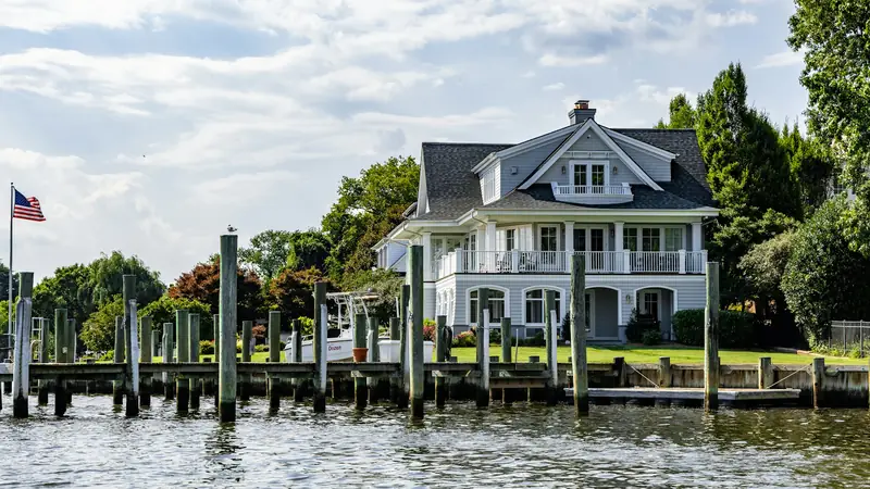 Buyer's guide · 3 min readBuying on the water: what to check first.
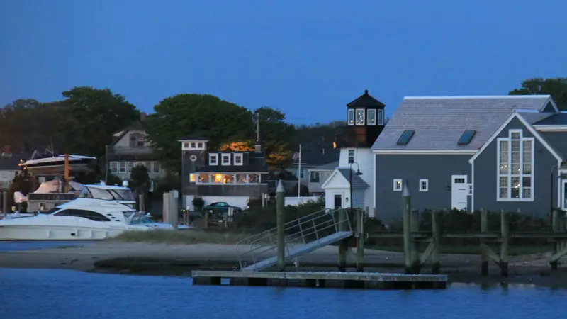 Town guide · 6 min readMassapequa on the water: canals, bulkheads and boats.